Rendering of Mars Hill in Death Valley National Park
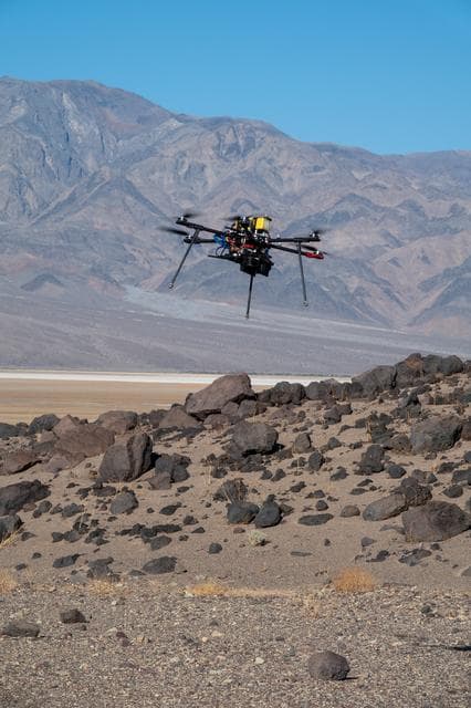
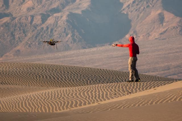
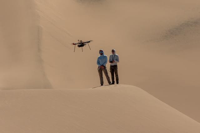
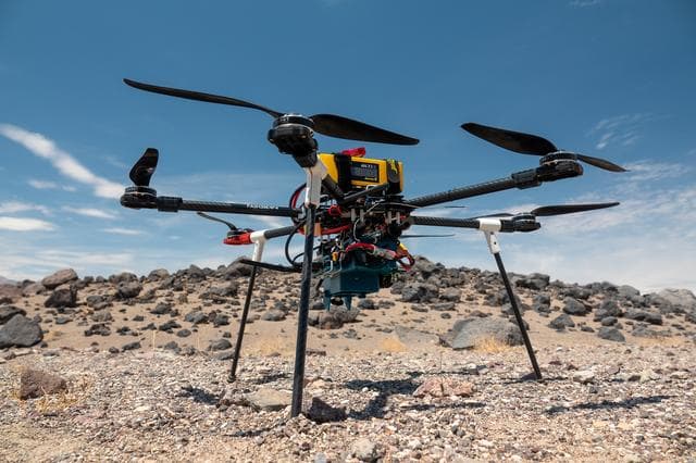
This rendering was created by research drones flying over Mars Hill, a region of Death Valley National Park that has been used by NASA’s Mars researchers since the 1970s, when the agency was preparing to land the twin Viking spacecraft. The hill’s rubbly, volcanic rock resembles the kind of inhospitable terrain that Mars rovers must navigate around and which posed a landing hazard for the Ingenuity Mars Helicopter. In September 2025, researchers from NASA’s Jet Propulsion Laboratory in Southern California flew research drones over Mars Hill as part of a test campaign to develop navigation software for future Mars rotorcraft. Being able to precisely land between rocks like those seen here is a critical capability to access similar Martian terrain in the future.
Usage Rights
Most NASA images are in the public domain and free to use. Credit NASA as the source. Check NASA's media usage guidelines for details. Images featuring identifiable individuals may require additional permissions.
Keywords
Details
NASA ID
PIA26678
Date Created
December 3, 2025
Center
JPL
Media Type
image
Downloads
Download this image in multiple resolutions. All NASA media are free for public use.